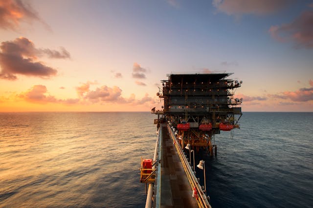
When energy demand rises and mature fields decline, exploration teams hunt for the next pocket of hydrocarbons with a blend of science, engineering, and patience. The work begins long before a rig arrives. Geoscientists sketch basin-wide models, investors weigh risk, and regulators define the rules of engagement. Only then does the search move from maps to measurements, and from promising theory to drillable prospects.
Mapping What Lies Beneath
Explorers start by screening sedimentary basins using well logs, cores, satellite lineaments, and regional geology. They evaluate source rocks for organic richness and thermal maturity, trace migration pathways through faults and carrier beds, and pinpoint traps—faults, folds, salt flanks, and sealed pinch-outs that could collect oil.
Basin modeling simulates heat and pressure over geologic time to predict when hydrocarbons formed and where they likely moved. High-grading follows: teams rank leads by chance of success, resource size, access, and above-ground risk, then promote the best candidates to prospects with concrete work plans and budgets.
Seismic Imaging and Subsurface Clues
Next comes seismic—the industry’s MRI. Crews send controlled sound waves into the earth and record echoes that assemble into 2D lines or richly detailed 3D cubes. Interpreters map horizons, faults, and subtle stratigraphic features, while amplitude, AVO, and attribute analysis can hint at gas or light oil rather than water.
Rock-physics workflows and seismic inversion translate reflectivity into likely rock and fluid properties such as porosity and saturation. Where available, gravity and magnetics add structural context, while analog fields and offset wells help calibrate the subsurface picture. The result is a prospect description with depth targets, risks, and volumes.
From Wildcat to Appraisal
A first well—often a wildcat—tests the concept. Drillers steer precisely to target depth, managing pressure with mud weight, casing programs, and real-time MWD/LWD data. If the bit enters the reservoir, wireline logs, pressure tests, cores, and fluid samples confirm pay, quality, and fluid type. Well tests demonstrate deliverability and early decline behavior.
A discovery triggers appraisal: step-out wells prove the areal extent, vertical pilots verify stacked intervals, and interference tests reveal connectivity. Meanwhile, engineers build early reservoir models, update volumetrics, and test development concepts, from vertical producers to long-reach horizontals with tailored completion designs.
Economics, ESG, and Field Development
A discovery only becomes a reserve if it can be produced responsibly and profitably. Engineers size wells, completions, and facilities, balancing recovery with emissions, water handling, and community standards. Supply chains lock in steel, proppant, and specialty chemicals, while midstream plans address evacuation routes, power availability, and carbon intensity.
At this stage, the operator may lean on a trusted chemical services partner to optimize corrosion control, scale inhibition, and flow-assurance programs that keep production stable. With risks costed and mitigations in place, the project advances toward the final investment decision.
Conclusion
New reserves seldom appear by luck; they emerge from disciplined iteration. Teams loop through basin screening, imaging, testing, and economics until geology, engineering, and ethics align. When that happens, a dot on a map becomes a plan, a plan becomes a well, and a well becomes the barrels that keep the lights on.

