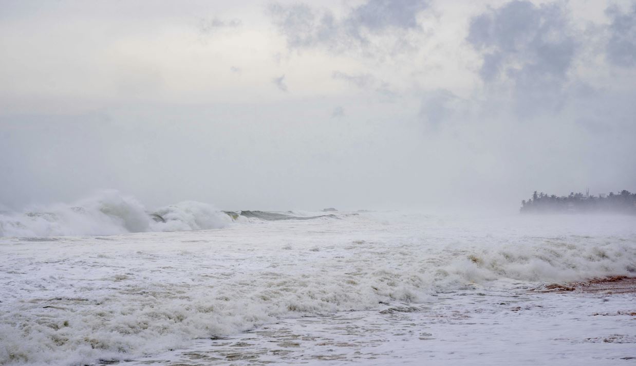
Bhubaneswar, May 11 (BNP): A low-pressure area has formed over the southwest Bay of Bengal near the north Sri Lanka coast under the influence of an active upper air cyclonic circulation, the India Meteorological Department (IMD) informed on Monday. The associated cyclonic circulation currently extends up to 5.8 km above mean sea level, and the weather system is expected to intensify further over the next 48 hours.
According to weather experts, the system is likely to move towards the Tamil Nadu coast while gradually strengthening. However, the chances of it developing into a highly organised cyclonic system remain low due to strong vertical wind shear prevailing over the region.
Weather expert Biswajit Sahoo stated that the low-pressure system may either weaken near the Tamil Nadu coast or change direction towards Myanmar depending on future atmospheric conditions. He added that if the system intensifies further, it may develop into a depression around May 13 or 14.
Despite the formation of the low-pressure area, the IMD has not issued any rain or wind warning for Odisha so far. However, weather conditions in parts of the state are expected to remain unstable, with the possibility of Kalbaisakhi-related rain and thunderstorms in some districts over the coming days.

Meteorological officials are closely monitoring the movement and development of the system.